The History and Geography of São Tomé
Basic facts about History
Uninhabited until 1471, São Tomé was discovered on December 21st, 1471, by Portuguese explorers João de Santarém and Pêro Escobar. Until then, it was completely uninhabited. The Portuguese government decided to start the first settlement in 1493 and exiled “undesirable” people from Portugal to inhabit the newly discovered island. In this “human” shipment, more than two thousand Jewish children were deported, along with Portuguese Christians. The first city was built in the North of the island (near current Neves) but was later moved to the actual location of São Tomé due to a high death rate caused by malaria.
Transport hub and sugar cane plantations
During the “triangular trade” era, São Tomé became a hub for shipping supplies with fresh water and food. Portuguese introduced various vegetables and fruits to diversify the supply of fresh food. Meanwhile, the production of sugar launched, and São Tomé became a famous sugar cane producer.

King Amador’s revolt

While most Africans on the island were enslaved and working in plantations, there was an independent fishermen’s village, now known as the city of São João das Angolares. The village was founded by slaves who survived the destruction of their ship a few kilometers away from the coast. In 1595, they gathered around King Amador, rallied enslaved people, and attacked the Portuguese. They ruled the island for about a year, and then King Amador was captured, jailed, and executed by the Portuguese. Nowadays, King Amador remains a strong symbol of independence for Santomean people.
Coffee and cocoa beans
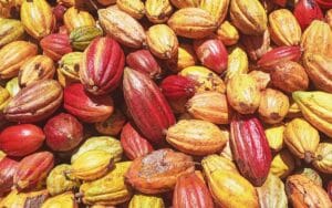
Following the decline of sugarcane (due to Caribbean competition), agriculture stagnated until the mid-19th century. Cocoa and coffee were introduced around 1850. Thanks to its ideal climate and fertile soil, São Tomé became the world’s top cocoa producer by 1900, peaking in 1913 with 37,000 tons exported. Today, production is much lower (~3,000 tons/year), though São Toméan cocoa remains renowned for its quality.
São Tomé Geography
About Geography
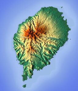
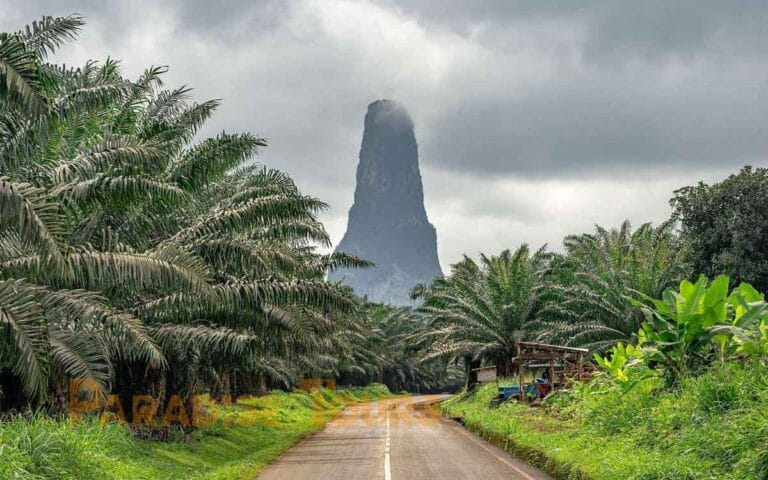
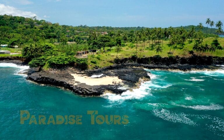
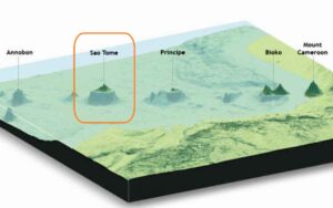
Geographic formation: São Tomé and Príncipe islands are volcanic islands part of the Cameroon mountain chain. The country’s total area is 1001 square kilometers: São Tomé Island covers 859 km2, and Príncipe Island covers 142 km2. The Obô National Park covers about one-third, with a surface of 295 km2, and the highest point is São Tomé Peak, 2024 m high. There are volcano craters like the famous Lagoa Amelia, now covered with green lichens. Natural curiosities include the Cão Grande Peak (the Big Dog) and the Boca de Inferno (Hell’s mouth).
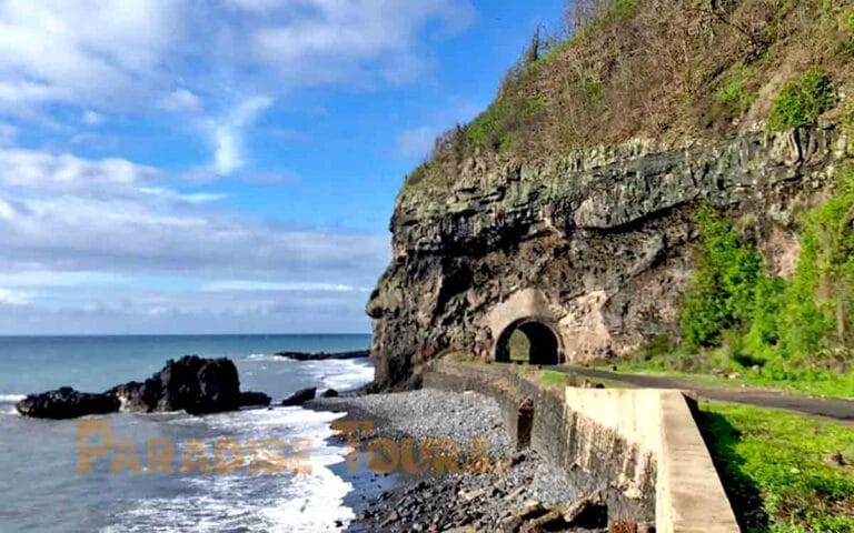
The geography is diverse with savanna and baobabs in the North (between Guadalupe and Neves) and tropical mountainous vegetation in the southern part. In the Northwest, you’ll find black sand and pebble beaches (Neves to Santa Catarina), and in other areas, you’ll find yellow, gold, or white sand.
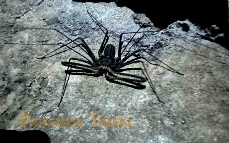
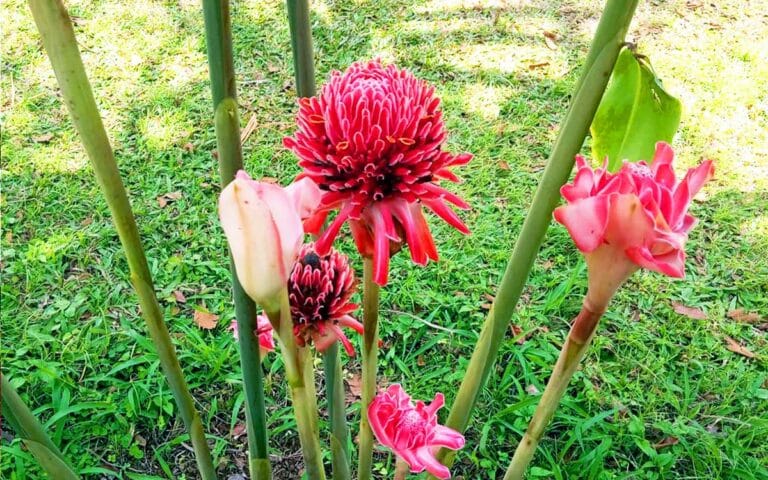
Since the island has never been attached to the Continent, many species (fauna and flora) have developed on their own and become “endemic”; they are not found anywhere else on earth.
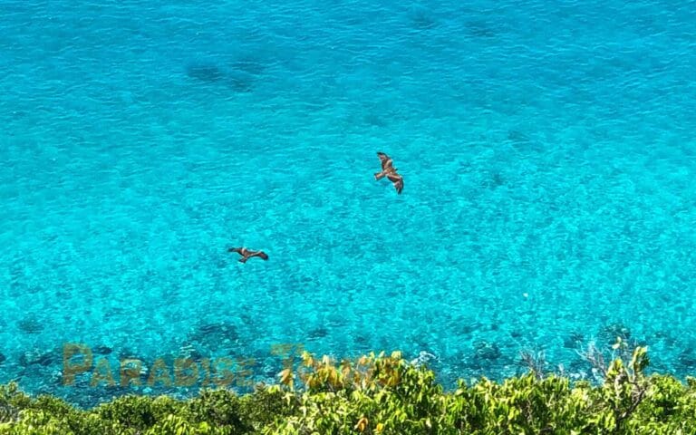
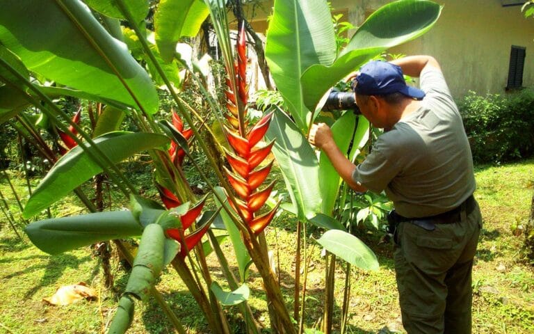
São Tomé is a resource paradise for botanists, entomologists, and bird-watchers. Delegations come occasionally and always encounter unknown species of insects. Flora: there are many endemic flowers and plants, some decorative, and some used in medicine. Some tree preparations are said to work as an aphrodisiac for women; if curious, you can ask the specialized guide during the botanical garden visit.
Some Specimens & Interesting spots